
Plotting the Route: How Mapping Tools Actually Work for Road Trips
Learn how digital mapping tools calculate routes, estimate drive times, and handle detours—so you can use them more effectively.
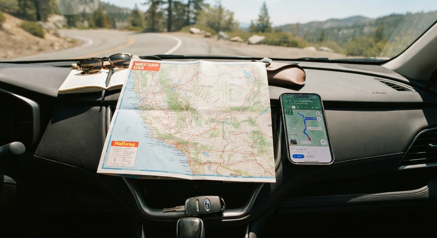
Photo: SaverSteals.com editorial
—— In This Article
Key Takeaways
- Mapping apps calculate routes using road network graphs, speed limits, and real-time traffic data.
- Estimated drive times are based on posted speeds and averages—not your actual driving pace or stops.
- Rerouting happens automatically when apps detect faster paths due to traffic or road closures.
- Waypoints let you add planned stops without losing your overall route structure.
- No app has perfect data—road conditions, construction, and rural gaps can all introduce errors.
- Using multiple tools together gives you a more complete picture than relying on one app alone.
The Road Network as a Graph
Every navigation app starts with a digital map built from an enormous graph—a mathematical structure where intersections are nodes and road segments are edges. Each edge carries data: its length, posted speed limit, road classification (highway vs. local street), and turn restrictions. When you enter a destination, the app searches this graph to find an optimal sequence of segments connecting your starting point to your endpoint.
This process happens in milliseconds because routing algorithms are designed to prune the search space intelligently. Rather than evaluating every possible path, they prioritize segments that move you meaningfully closer to the destination. The result is a recommended route that balances distance, expected travel time, and road type—typically favoring highways for long stretches and local roads for the final approach.
Understanding this structure helps explain why apps sometimes suggest routes that look counterintuitive on paper. A longer highway path may rank higher than a shorter surface road simply because its higher speed limit and fewer stops produce a better expected time.
How Drive Time Estimates Are Calculated
Estimated travel time is not a simple distance-divided-by-speed calculation. Apps layer multiple data sources to produce a more nuanced figure. At the foundation are posted speed limits for each road segment. On top of that, apps apply historical traffic patterns—aggregated from millions of past trips—to adjust for times of day and days of the week when congestion is predictable.
Live traffic data adds another layer. Mapping platforms pull from GPS signals of other users on the road, fixed traffic sensors, and incident reports to detect slowdowns in real time. If a bottleneck forms on your planned route, the app adjusts your estimated arrival time—and may suggest a reroute.
~17%
Average underestimate in predicted travel time
Research on GPS navigation systems has found that apps can underestimate real-world travel times by roughly 15–20% once stops and real-world delays are factored in.
Billions
GPS data points processed daily by major mapping platforms
Large mapping platforms aggregate anonymized location data from hundreds of millions of active devices to build and refine real-time traffic models.
~30 sec
Typical reroute detection lag in live traffic apps
Most navigation apps refresh route calculations every 30 to 60 seconds based on incoming traffic data, meaning there is a short window before a slowdown is detected and acted upon.
What these estimates do not account for: your personal driving pace, rest stops, fuel breaks, meals, or the slower speeds common in construction zones before they appear in data feeds. For a thorough look at this gap, see our piece on why drive time is always longer than the map says.
Rerouting, Waypoints, and Real-Time Adjustments
One of the most useful features of modern navigation is automatic rerouting. When the app detects that your current path has slowed significantly—or receives a report of an accident or closure ahead—it recalculates from your current position. It compares your original route against alternatives and switches you over only if the new path saves a meaningful amount of time, typically more than a few minutes.
Waypoints give you deliberate control over this process. Instead of letting the app optimize purely for speed, you can insert planned stops—a scenic overlook, a specific fuel station corridor, or a city you want to pass through. The app treats each waypoint as a sub-destination and sequences the route accordingly. Reordering waypoints triggers a fresh calculation.
Plan Waypoints Before You Leave
Adding waypoints at home—before your trip—lets you verify that the app's suggested sequence matches your actual intentions. Apps sometimes reorder stops in ways that technically save time but skip something you wanted to see. Review the full route on a larger screen when possible so you can spot any surprises before you're on the road.
For trips where the route itself matters as much as the destination, consider comparing a direct highway option against a scenic alternative before you leave. Our article on choosing between scenic routes and highways walks through how to weigh those trade-offs.
Where Mapping Tools Fall Short
No mapping tool has perfect data. Rural and remote roads are often less frequently updated, meaning closures or new construction may lag behind reality. Unpaved or seasonal roads may be flagged incorrectly—or not at all. User-reported incidents are only as reliable as the community of drivers using the app in that area at that moment.
Satellite and aerial imagery used for map verification also has a time lag—sometimes months or years behind current road conditions. This matters most in rapidly developing areas or regions that see frequent storm damage.
Offline Maps Are Worth Downloading
If any portion of your route passes through areas with poor cell coverage—mountain corridors, national park approaches, rural interstates in low-population states—download offline maps for those regions before departure. Offline mode retains turn-by-turn navigation but loses live traffic updates, so pair it with awareness of known construction or seasonal road conditions from official state DOT sources.
Practical mitigation: cross-reference your primary navigation app with a second source for unfamiliar or rural legs of a trip. Downloading offline maps for areas with limited cell service adds a useful safety net. And for trip structure and planning fundamentals, the road trip planning from scratch guide offers a grounded starting framework that complements any digital tool you use.
Frequently Asked Questions

Travel Editorial Team
Travel Editorial Team is the collective byline for our editorial team and contributor network. Articles published under this byline or an editorial pen name are researched, written, and reviewed according to our editorial standards for clarity, consistency, and independence before publication.
View author profile